Glen Cassley y Glen Oykel - Glen Cassley and Glen Oykel
OS Explorer es el mapa más detallado de Ordnance Survey y está recomendado para quienes practican...

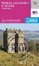
Peebles, Galashiels & Selkirk, Valle del Tweed - Peebles, Galashiels & Selkirk, Tweed...
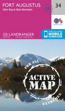
La serie OS Landranger Active Map cubre Gran Bretaña con...
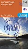
Loch Morar y Mallaig - Loch Morar and Mallaig
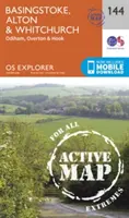
OS Explorer es el mapa más detallado de Ordnance Survey y se recomienda para cualquier persona que disfrute de actividades...
Fort Augustus, Glen Roy y Glen Moriston - Fort Augustus, Glen Roy & Glen Moriston
La serie OS Landranger Active Map cubre Gran Bretaña con 204 mapas...
Basingstoke, Alton y Whitchurch - Basingstoke, Alton and Whitchurch
OS Explorer es el mapa más detallado de Ordnance Survey y se recomienda para cualquier...
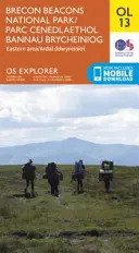
Parque Nacional de Brecon Beacons / Parc Cenedlaethol Bannau Brycheiniog - Eastern Area / Ardal...
OS Explorer es el mapa más detallado de Ordnance...
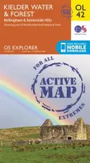
Aguas y bosque de Kielder, colinas de Bellingham y Simonside - Kielder Water & Forest, Bellingham &...
OS Explorer es el mapa más detallado de Ordnance...
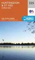
Huntingdon y St. Ives, Grafham Water - Huntingdon and St.Ives, Grafham Water
El mapa esencial para actividades al aire libre en Huntingdon, St Ives y...
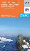
Vale of Clwyd, Rhyl, Denbigh y Ruthin - Vale of Clwyd, Rhyl, Denbigh and Ruthin
El mapa esencial para actividades al aire libre en Vale of Clwyd, Rhyl,...